Storm Drainage Network Diploma – Arabic Version
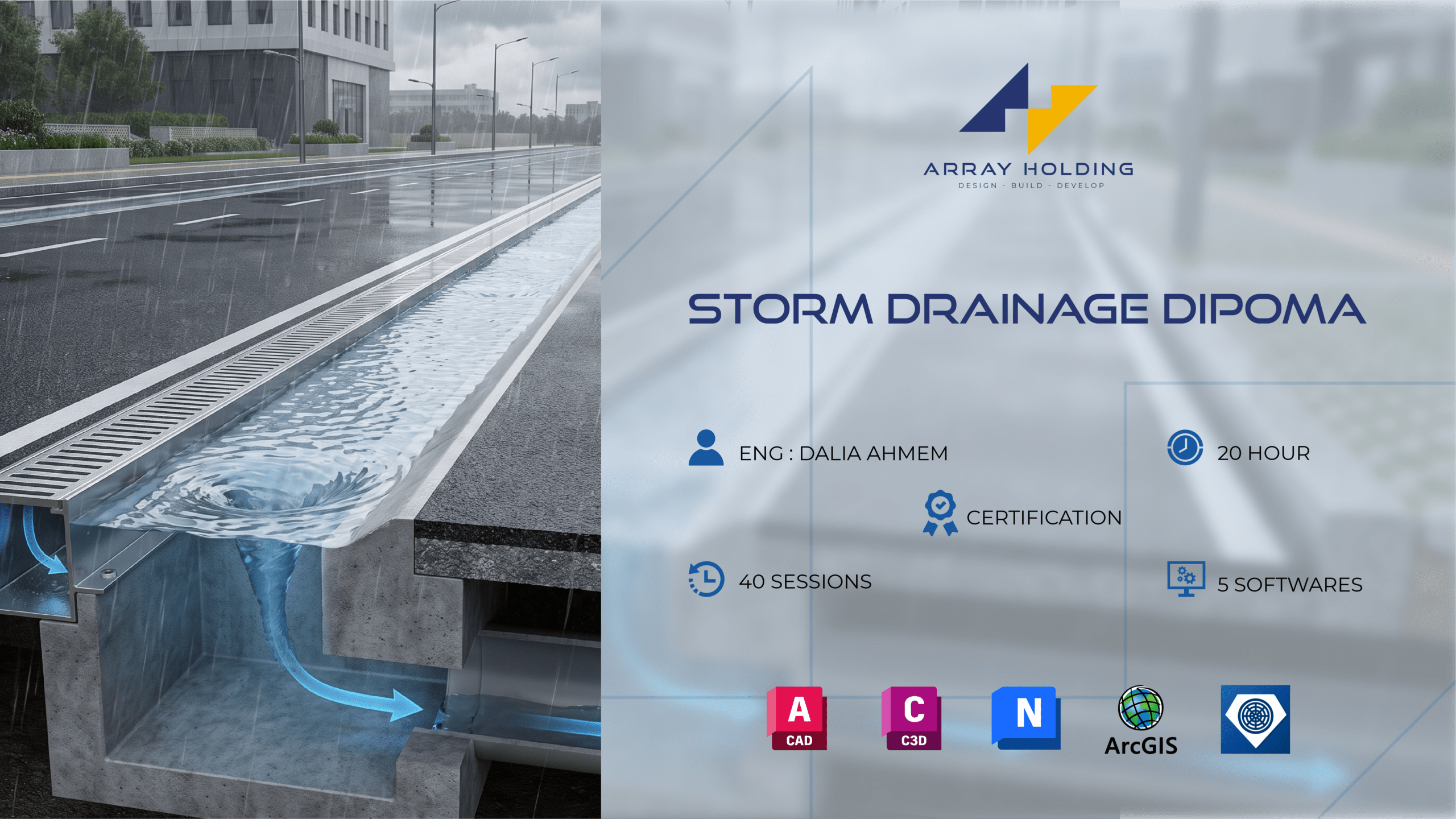
Course Content
Session 01 – Hydrology data Part 01
-
P-01
27:09
Session 02 – Hydrology data Part 02
Session 03 – Hydrology data Part 03
Session 04 – SCS
Session 05 – Network Components
Session 06
Session 07 – Road levels Study
Session 08 – Catchment delineation
Session 09 – High & low Points
Session 10 – Alignment selection
Session 11 – SewerGems Introduction
Session 12 – Storm data & Trex
Session 13
Session 14 – Thiessen polygon
Session 15 – Rational Scenario
Session 16 – CA Outflow (ArcGIS)
Session 17 – Arc Gis Setup
Session 18 – Check on Results
Session 19 – profile check part 01
Session 20 – Profile check part 02
Session 21 – scenario Rational 25 years
Session 22 – Results Rational 25
Session 23 – Scenario SCS 10 Years
Session 24 – Check on SCS Results
Session 25 – Check on SCS profile 01
Session 26 – Check on SCS profile 02
Session 27 – Decreasing of diameter
Session 28 – SCS 25 years
Session 29 – Roads X-Sec Studying
Session 30 – manholes lisp
Session 31 – Catchbasins Locations
Session 32 – BIM Introduction
Session 33 – 3D modeling
Session 34 -Profile in Civil 3 D
Session 35 – Edit in 3D Network.
Session 36 – BOQ
Session 37 – Sewage manholes
Session 38 – Naviswork setup
Session 39- Navis Work
Session 40 – Revision
Student Ratings & Reviews
Thank You so much for amazing course
Good and well explained concentrated topic & materials.
